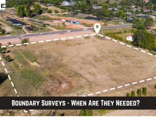
Boundary surveys are an essential part of any real estate transaction in the state of Texas.
These critical assessments are performed by surveyor services experienced with these and other types of land surveys.
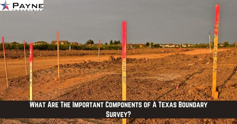
A Texas boundary survey performed by a boundary survey company is done using five required components that can be used to correctly document the land.
What Is The Purpose of A Boundary Survey in Texas?
A boundary survey is a basic land survey that identifies the locations of the corners of a parcel of land as those points are described in the written land deed.
Also called retracement surveys, these physical land measurements require boundary surveyor services to translate the legally deeded description of the location of property boundary corners into actual physical markers on the ground.
Using ground monuments and other physical markers, surveyors can then later identify actual property lines and perimeters.
These maps are used by title companies and land owners to accurately document the corner points on any parcel being sold to confirm the size, shape, and boundary of the parcel being sold.
What Are The 5 Components Used To Complete A Boundary Survey?
The process of performing a boundary survey involves five important steps:
- Records Research – To complete a boundary survey, the survey company must first research any legal records of the property and its known boundaries. This research is done using previously recorded official documents including deeds, existing plats, previous surveys, and any other official records kept by the county recorder.
- Initial Field Work – Using the data found within the existing records, boundary survey services will go to the property and look for markers and monuments that should already be there, taking measurements of the locations of these markers and also notating missing markers that cannot be located.
- Calculations and Comparison – With the measurements and data gathered during research and initial fieldwork, the survey service will then calculate the position of the existing markers and compare them to where previous records state those markers should be located.
- Completion of Field Work – After determining what should be the correct location of each marker or monument, the surveyor service will then return to the field and adjust boundary markers as needed so the physical markers match the position of where the legal records state they should be.
- Plat Drawing To Document Points – A clean, updated plat drawing documenting the position of all corner markers and the dimensions of the property will be produced by the survey company and submitted to the legal records for that property. Using the markers and dimensions calculated in a boundary survey, future surveys for different purposes can then be accurately completed.
Boundary Survey Services – An Important Part of Texas Real Estate
Whether purchasing a parcel of Texas land or trying to sell one, a boundary survey is required in most cases to confirm and document parcel corners and dimensions.
An experienced surveyor service should be hired to perform this essential land survey.
A Texas boundary survey company that is knowledgeable of the land and how issues like missing or misplaced markers and other boundary challenges must be resolved is essential to the process!